








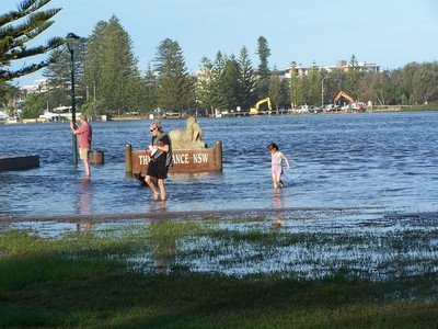
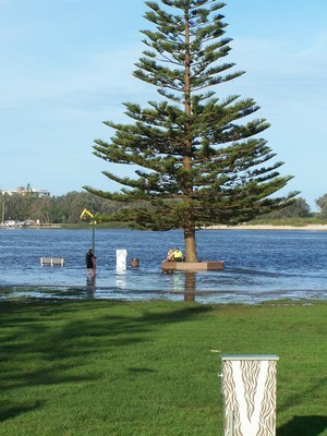
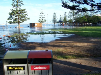
Over the weekend our area had 200-300mm of rain resulting in floods.Here are some photos taken last night about 7pm .The flooded lake has become a tourist attraction.A week ago there were sand islands growing green grass in the middle of the lake & they would be probably be reclaimed by the council & sold.
In the 1950's & 60's this area was known as the reclamation area.
The mouth of the lake closed up about 18 months ago & the council wouldn't dredge it.Tuggerah lake has two smaller lakes which run into it as well as creeks & rivers.This flood was always going to happen as soon as heavy rains came.There is more predicted for this weekend.
Photo 1 Across the lake to Nth entrance ,machines trying to stop the caravan park from flooding.
Photo 2.Norfolk pine ,garbage bin & seat normally well away from the wall & path
Photo 3 Looking toward the mouth.
Photo 4 Car park north of the bridge (white line in the back ground.
Photo 5 The channel dug in the sand dunes
Photo 6 Where the water forced its way out over the rocks.It usually flows around to the left of the rocks.

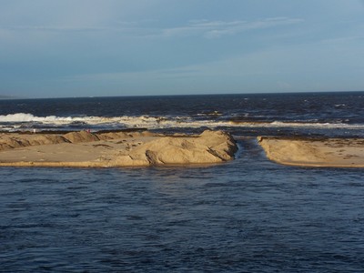


Thankfully it has finally started going down since the Council gave in to pressure and opened a small second channel into the lake's entrance.
It has been a very stressful few days and not over yet as we now have plagues of flies and mosquitoes.
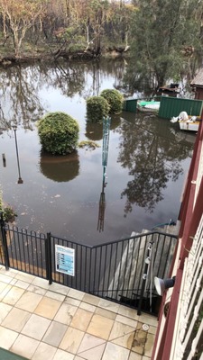
Hutton Rd Nth Entrance is under water,it usually only happens to a few house at the end lake of the streets .